

Can AI help climate adaptation? Yes-but not by making decisions on its own. It can support forecasting,risk mapping,early warning,and infrastructure planning by helping communities make better use of the details they already have. When climate data is paired with local knowledge, it can reveal were people, servicesand infrastructure are most likely to be affected by heat, flooding, wildfire smoke, coastal storms, and other hazards.
The goal is not to predict every outcome with certainty. It is to give planners, emergency teamsand residents a clearer basis for preparing before conditions become dangerous.
Using AI for clearer risk maps
Climate risk is rarely the same across an entire city or region. Two neighborhoods may receive the same rainfall, for example, but one may flood sooner as its drains are undersized, its homes are olderor its roads make it harder for emergency crews to get through. AI can definitely help pull together satellite imagery, elevation data, weather records, land-use information, and infrastructure maps to show those differences more clearly.
That can be useful for identifying blocks where extreme heat overlaps with limited tree cover and housing conditions that make cooling difficult. It can also help planners see which roads, public facilities, homesor utility systems may be vulnerable under different flood or coastal-storm scenarios. Just as importantly, it can highlight places where people may have a harder time preparing for or recovering from a disaster as of limited transportation, language barriers, income constraintsor reduced access to services.
Risk is more than the hazard itself. It also depends on who is exposed and what resources they have when something goes wrong. A useful map should reflect all three parts of that picture.
Still, a map is only as good as the information behind it.Past data may miss informal housing,recent construction,blocked drains,or the everyday experience of residents who know exactly which streets flood first. AI-generated maps work best when they are checked in the field, discussed with local communitiesand updated as conditions change.
Planning before the emergency
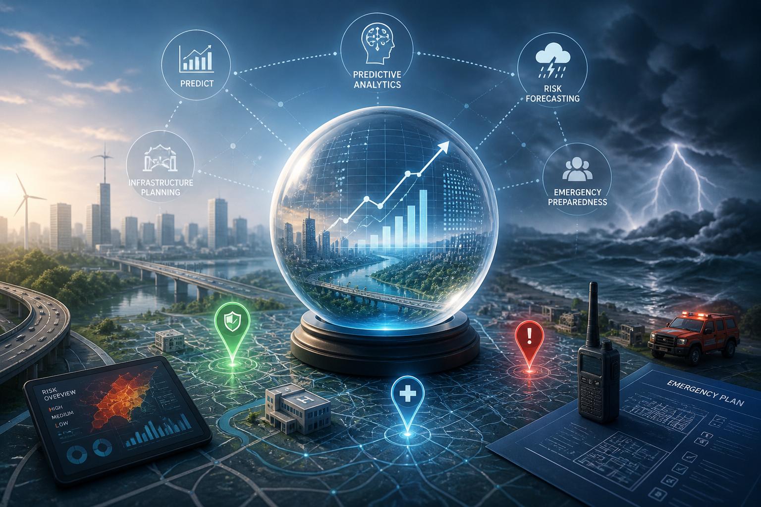
Predictive tools can help communities shift from reacting after damage occurs to preparing for likely problems ahead of time. By bringing together weather forecasts, past flood records, satellite imagery, utility information, and local risk data, they can definitely help identify where severe rainfall, heat, smokeor coastal flooding may put the greatest strain on essential systems.
That does not mean a forecast can tell officials exactly what will happen. it can, however, help them make more informed choices when money and time are limited. A city may use projected rainfall and soil conditions to inspect culverts, prepare pumpsor warn residents in areas that ofen flood. during a heat wave, public-health teams can combine temperature forecasts with information about housing and access to cooling, helping them direct outreach where it may be needed most.
The same kind of planning can support decisions about backup power, protected utility sites, alternate evacuation routes, and where to stage supplies. The point is to connect forecasts to practical action, rather than leaving useful information in a dashboard no one uses when conditions worsen.
Putting data in the hands of communities
Climate adaptation is stronger when residents, local leaders, emergency servicesand planners are working from a shared understanding of the risks. AI can help organize information from weather forecasts, infrastructure reports, public-health signals, flood maps, and community feedback. That can make it easier to see where essential services may fail first and which actions should take priority.
But data should support community judgment, not replace it. Residents often understand local vulnerabilities that do not appear in official records: an unsafe route to a shelter,a recurring drainage problem,a building without reliable cooling,or a neighborhood where alerts do not reach everyone. Those details matter when decisions involve evacuation plans, cooling centers, drainage upgradesor emergency communications.
A practical approach is to use the same information throughout the adaptation cycle: map risks and prepare resources before an event, adjust response plans as conditions change, then review what happened afterward. over time, that process can help communities improve future investments instead of repeating the same mistakes.
Using AI responsibly and fairly
AI can be useful in climate adaptation, but it also needs clear limits and oversight. A system trained mostly on well-monitored neighborhoods may overlook rural areas, informal housing, Indigenous communities, older residentsor people without reliable internet access. If those gaps are ignored, an apparently objective recommendation can reinforce existing inequities.
Public agencies and community organizations should be able to explain what information informed an AI-assisted recommendation, where uncertainty remainsand who is responsible for the final decision. They should also test whether proposed actions distribute protection fairly rather than directing resources toward communities that already have the most influence or the best data.
There must be room to question the results. A flood-risk map may identify a likely hotspot, but residents may know about blocked drainage, inaccessible evacuation routes, or communication barriers that the model cannot see. Privacy safeguards, regular reviews, and meaningful public input help ensure that AI remains a tool for better decisions-not a substitute for accountability.
Conclusion
AI can strengthen climate adaptation planning by helping communities understand risk, prepare earlierand target resources more carefully. Its greatest value comes from combining broad data with local experience, practical planningand human oversight. Used that way, it can help communities respond to a changing climate with more clarity and fairness.
AI tools built by Emerald Force
Built and supported by Emerald Force.
You might also like
- Can AI Fake Photos? How Synthetic Images Look Real
- AI Handles Routine Service; Humans Handle the Rest
- How AI Can Scale and Tailor Misinformation
- AI Helps Both Sides: Security Choices Decide
- Few-Shot Prompting: Learning from a Few Examples
- Inference Cost: The Compute Behind Model Outputs
- How to Benchmark Tools Before Buying: A Practical Guide
- Can AI Remove Backgrounds? A Proven Vision Use Case
- How AI Clusters Customer Feedback and Detects Sentiment
- AI Center of Excellence: Standards and Adoption